
Closed
Tour for adventurersMadrisella Gipfelweg trail: an exciting hiking route in the Montafon mountains
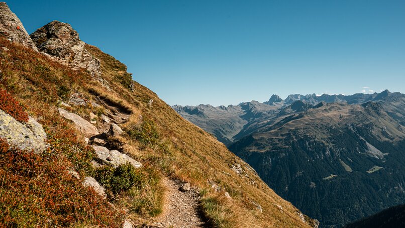
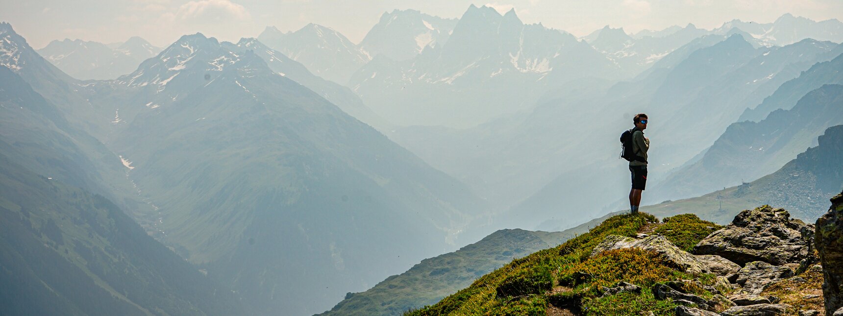
The stunning views along the Madrisella Gipfelweg trail will easily make you forget the exertion of the ascent: The scenic route located at 2,466 metres above sea level is both thrilling and strikingly beautiful.
The Madrisella Gipfelweg trail at a glance
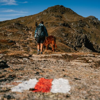
- Route description according to the waymarks: Trail no. 10 Madrisella Gipfelweg – Versettla Bahn mountain station – Versettla – Madrisella – Matschuner Joch – Alpe Nova – Versettla Bahn mountain station
- Difficulty: medium
- Distance: 10.9 km
- Elevation gain: 829 m
- Duration: 4.5 h
- Suitable for pushchairs: no
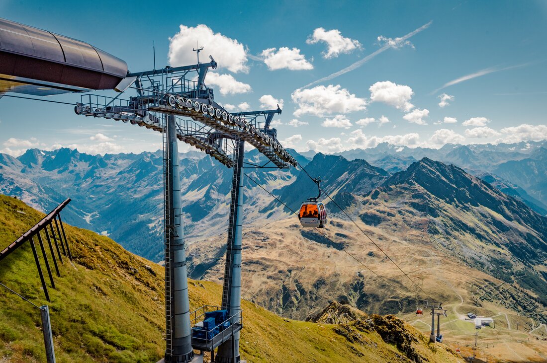
- Cable car: Versettla Bahn, Gaschurn
Route description of the hike to the Madrisella summit
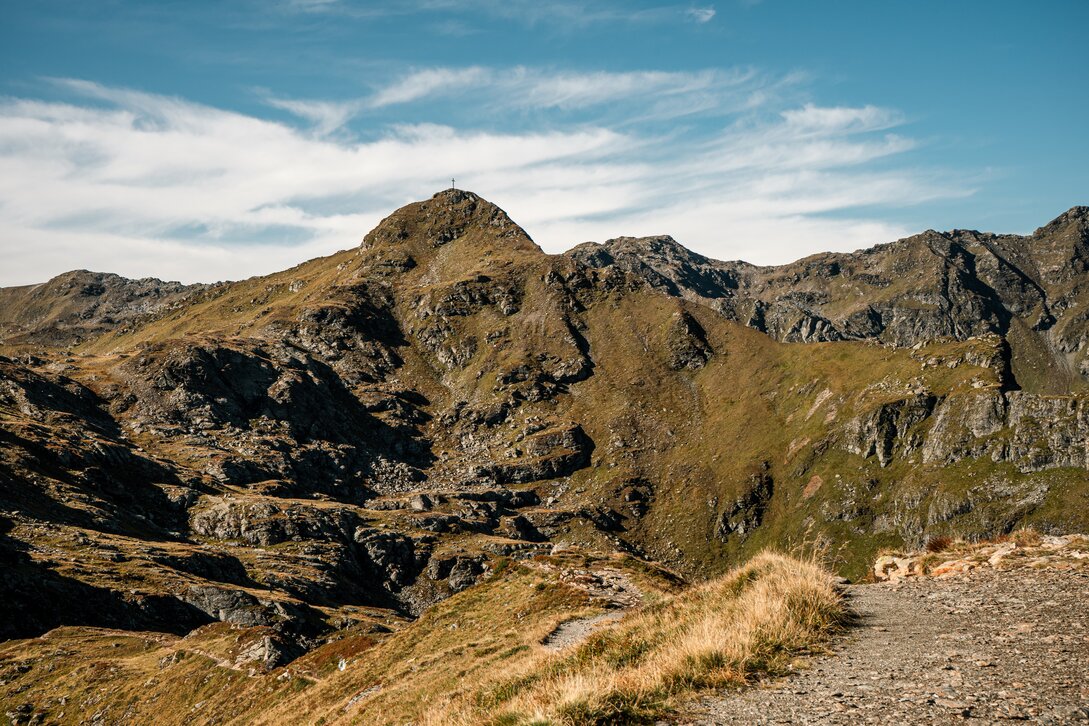
Your hike starts at the Versettla Bahn mountain station, leading you past Burg and Versettlaspitze. The grand finale awaits as you climb Madrisella at 2,466 meters above sea level, revealing a stunning panorama of the Montafon mountain peaks. If you look closely, you may even catch a glimpse of Lake Constance in the distance.
Continue your tour via Matschuner Joch and through the Novatal valley. At Alpe Nova, turn right for the final ascent. You’ll reach your destination: Nova Stoba, where you can conclude your summit tour in a fitting manner.
Tip: Make your return journey to the mountain station easier by taking the Nova Bahn from the Novatal valley.
Get your ticket for adventures in the Montafon mountains!
